Bike Ottawa Interactive Maps
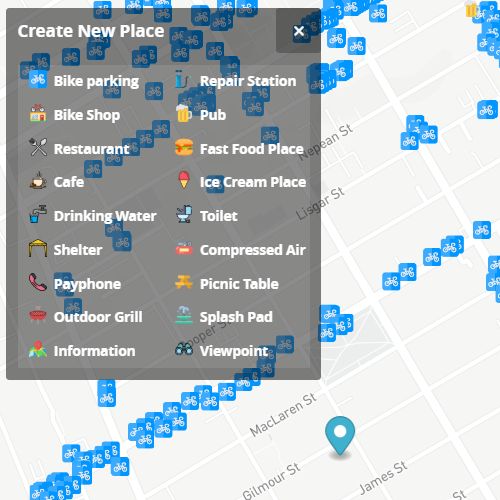
Amenities
Map of #ottbike amenities - from bike parking to water fountains and payphones. Submit yours if you see something missing.
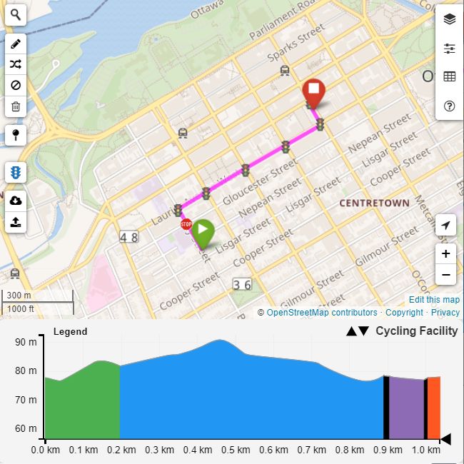
Route Planner
Flexible cycling route planner. You can specify what to avoid (i.e unsafe/unpaved/unplowed roads and pathways) and build your route. Explore route qualities, share and export it.
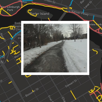
Winter Cycling
Map of winter-maintained pathways. Help us fill in the blanks!
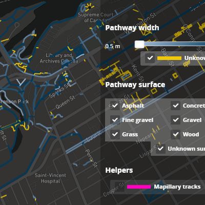
Pathways
All pathways in Ottawa-Gatineau and their properties. We use this data for routing and LTS map. You can add any missing properties, such as width, surface, condition in one click.
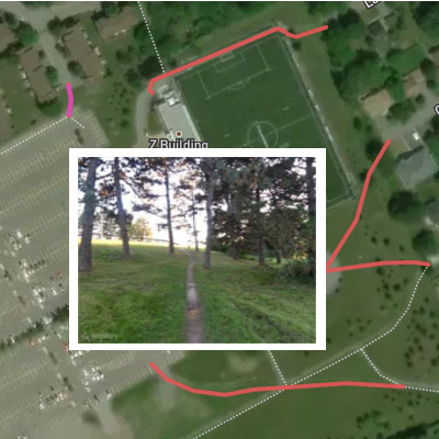
Desire Paths
Map of desire lines in Ottawa. Help us maintain it by suggesting those that are missing.
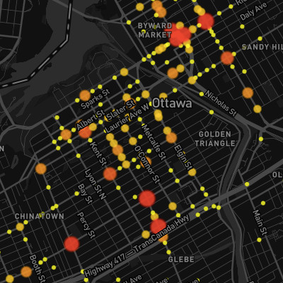
Collisions
Collision map for Ottawa involving pedestrians, cyclists and drivers. Data from City of Ottawa collision open data.